What you can expect from the weather this winter
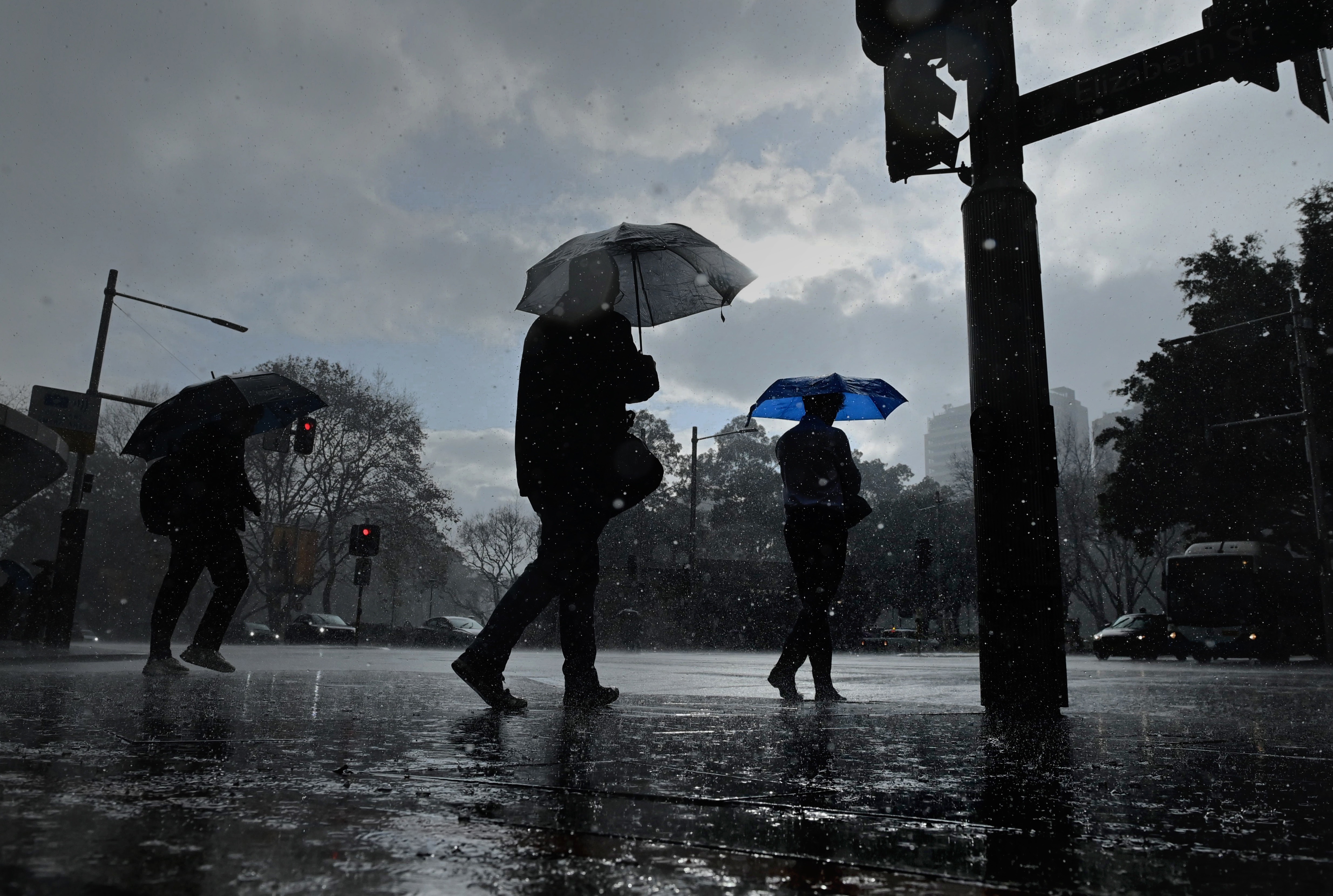
Winter is upon us, but Australians have barely had to reach for their woolly warmers this year due to unusually hot weather throughout autumn.
The country sweated through its hottest March on record, while April temperatures were a degree above the long-term average.
So is winter going to offer any reprieve, and what should you expect in terms of rainfall and snowfall? This is what you need to know.
READ MORE: Experts backing interest rate cut next week, with more on way
Temperature
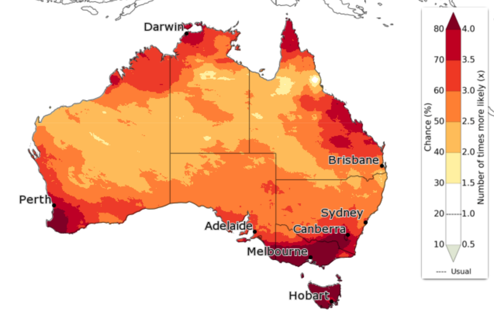
According to the Bureau of Meteorology's official winter forecast, the warmer-than-usual weather is here to stay for winter: every state and territory is either likely or very likely to have above-average temperatures for the next three months.
Large parts of the country, including Sydney, Perth and south-west Western Australia, and Melbourne and much of Victoria, have more than a 50 per cent chance of recording unusually high maximum temperatures from June to August.
Even more of the country has a high chance of unusually warm minimum temperatures throughout winter.
"Although we are entering the cooler months, June to August daytime temperatures are likely to be above average across Australia," the BoM said in mid-May.
"There's an increased chance of unusually warm days, particularly in the south.
"Overnight temperatures are also very likely to be warmer than average from June to August.
"There's an increased chance of unusually warm nights, especially across parts of the west, south and east."
EXPLAINED: Why are there so many banknotes, when hardly any of us are using cash?
Rainfall
While just about the entire country is set for an unusually warm winter, the rainfall forecast isn't as uniform.
"Above-average rainfall is likely (60 to 80 per cent chance) for much of inland Australia," the BoM said in its long-range forecast on May 29.
What constitutes above-average rainfall differs from region to region. Western Tasmania is forecast to be the wettest part of the country for winter, followed by south-west Western Australia.
Parts of Sydney, Melbourne and Brisbane all have a 75 per cent chance of receiving between 100-200mm from June to August.
There is a chance that South Australia, which has been struggling through severe drought, could get some relief in the coming months.
"For parts of Australia's tropical north, the south-east and the south-west, rainfall is expected to be in the typical winter range," the BoM said in its winter forecast.
"Typical rainfall means there's a roughly equal possibility for these areas to receive above, below or near-average rainfall.
"This includes parts of South Australia, Victoria and Tasmania that have been affected by prolonged dry conditions as well as parts of New South Wales recently impacted by severe flooding."
There's an unseasonal risk of bushfires in parts of South Australia and Victoria this winter.
READ MORE: Experts answer how severe this flu season will be

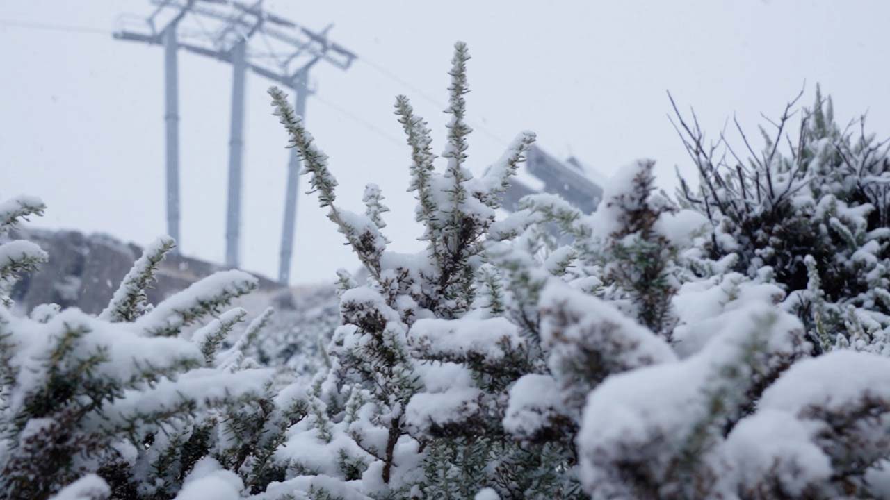
Snow
Unlike temperature and rainfall, the BoM doesn't produce long-range forecasts for snow because of Australia's "notoriously fickle" snow season.
There are some weather systems that influence snowfall, though.
A negative Southern Annular Mode (SAM) is associated with better snow seasons.
As of May 28, it was firmly sitting in positive territory and the BoM expects it to remain around there for June, but longer-range forecasts for it are not possible.
A negative Indian Ocean Dipole (IOD) is also linked to higher snowfall, and that might happen this year, although not until later in winter, with it currently sitting in neutral territory.
"The Bureau's model predicts a neutral state of the IOD until at least July after which it forecasts a shift towards a negative IOD," the BoM said in its update on May 20.
"This is consistent with seven of eight international models assessed which also forecast a negative IOD pattern developing at some point between June and September.
"Despite international model agreement, skill for IOD forecasts made at this time of year has been historically low beyond one to two months ahead."
READ MORE: 'Prove I didn't steal it': Confusion over Aussie supermarket's receipt request
Then there's the El Nino-Southern Oscillation (ENSO), where a neutral reading (that is, neither an El Nino or La Nina system) is generally considered best news for big dumps of snow.
"The Bureau's model predicts neutral ENSO until at least October," the BoM says.
"This is consistent with forecasts from most international models.
"However, there is a larger spread in the model forecasts towards the end of the outlook period, indicating greater uncertainty beyond winter."
In short, if you want to know whether it's going to snow when you head to the slopes, it's best to check the Bureau's alpine weather forecasts, which show the seven-day outlooks for Australia's snowy regions.
DOWNLOAD THE 9NEWS APP: Stay across all the latest in breaking news, sport, politics and the weather via our news app and get notifications sent straight to your smartphone. Available on the Apple App Store and Google Play.